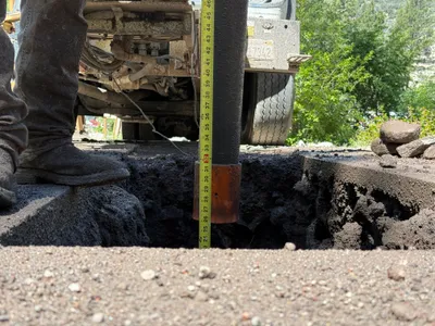
No caption
IMG_7849.JPG
Details
39.39474, -120.02092· 1660m
Location Context
1 / 5
USGS Topo
No elevation data
FEMA Flood
No flood data
OSM Infra
No address data
USDA Soil
No soil data
USGS Hydro
No hydro data
Show all EXIF (43 fields)
AI Analysis
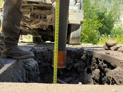
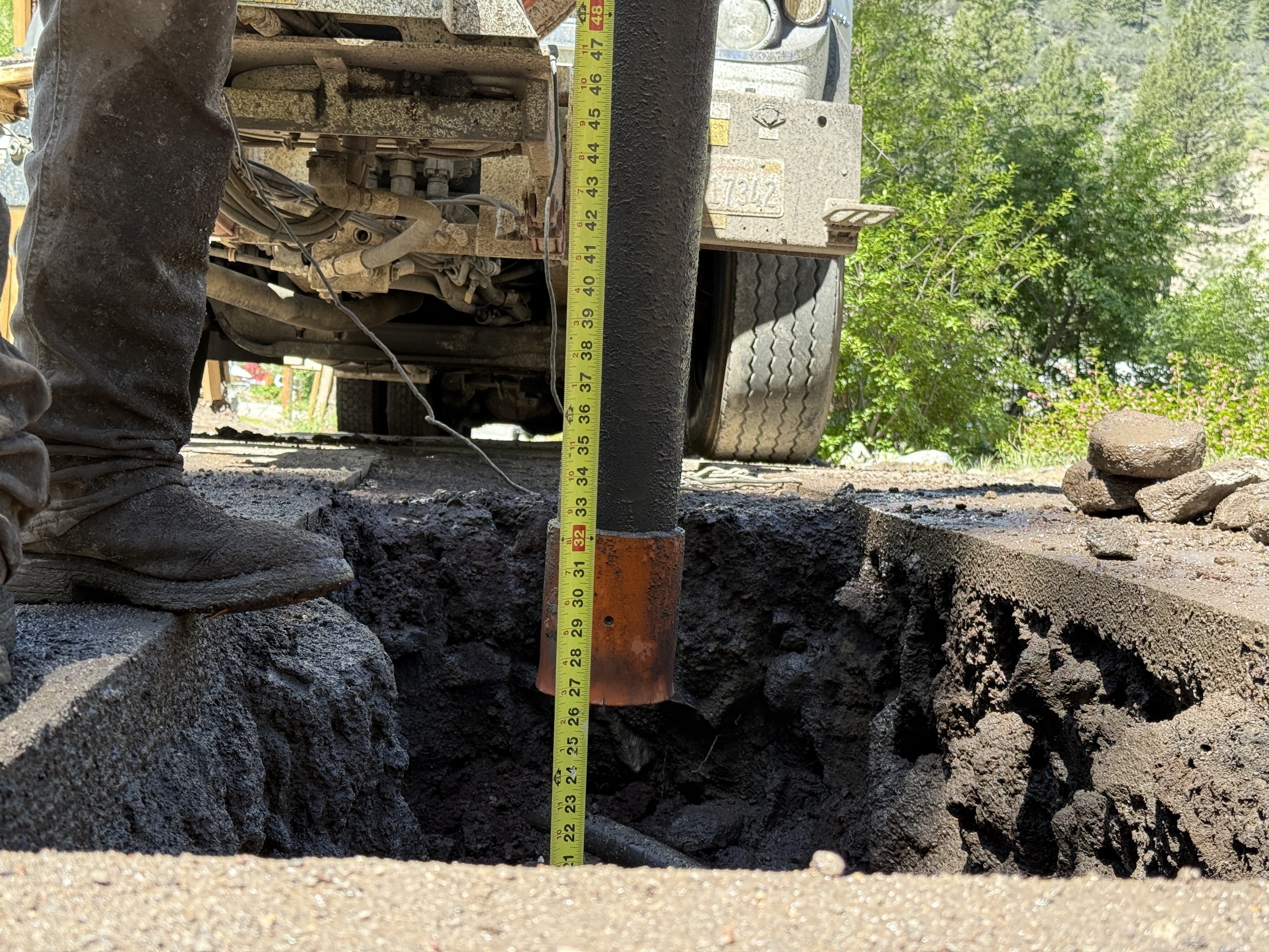
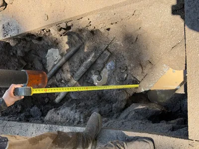
The image depicts a partially excavated trench with a person standing beside it holding a tape measure to assess the depth. A vehicle is parked near the trench, and there are chunks of excavated material next to it. The activity appears to be related to utility location through potholing, as indicated by the visible measuring process. No specific utilities are shown visually.
Equipment & Materials
AI Tags
Analyzed Apr 21, 2026
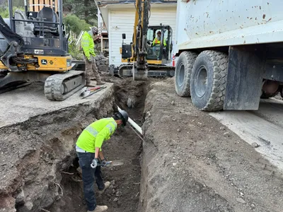
Nearby Photos
1m
pipeline installation
1m
pipeline installation
1m
trenching
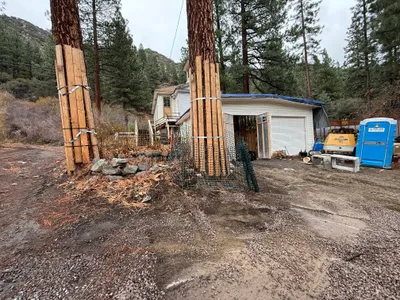
1m
other
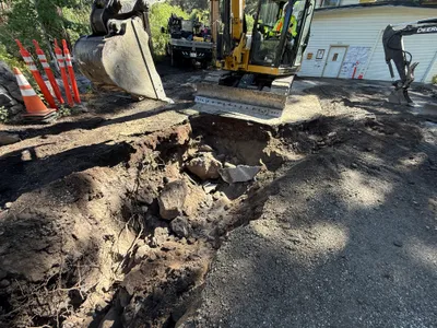
1m
excavation
2m
excavation
2m
trenching
2m
other
2m
trenching
2m
trenching