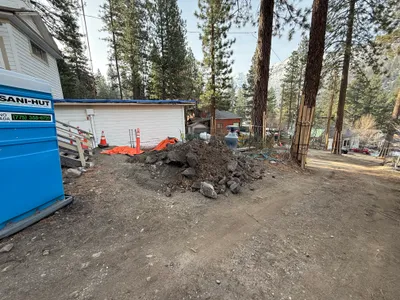
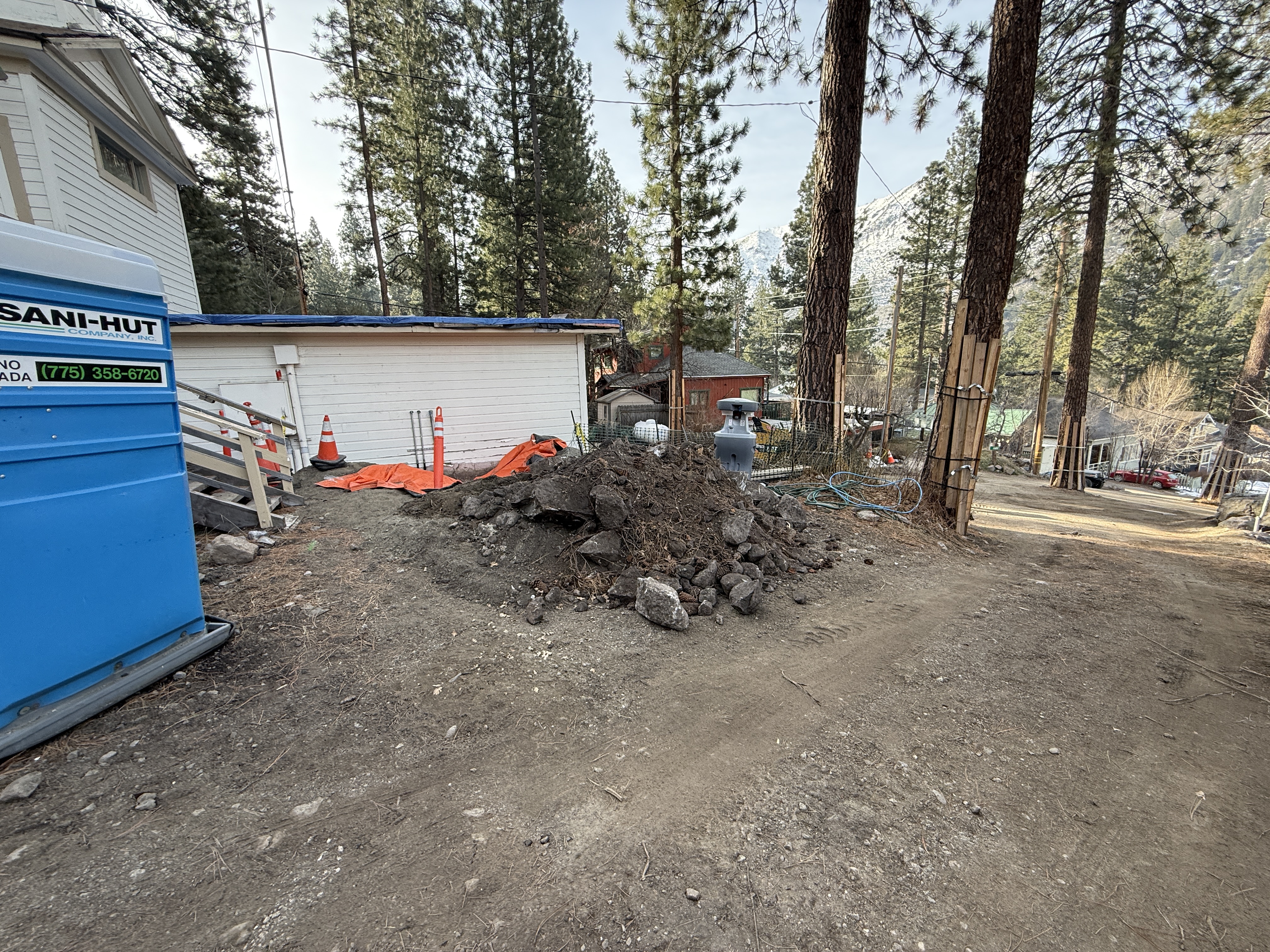
No caption
IMG_2718.JPG
Details
Thursday, January 29, 2026 · 9:50 AM
39.39467, -120.02083· 1659m
Location Context
1 / 5
USGS Topo
No elevation data
FEMA Flood
No flood data
OSM Infra
No address data
USDA Soil
No soil data
USGS Hydro
No hydro data
Apple iPhone 16 Pro
iPhone 16 Pro back triple camera 2.22mm f/2.2
2.220000028611935mmf/2.21/246sISO 64
Flash did not fire, compulsory flash mode
Show all EXIF (43 fields)
ApertureValue2.2750
BrightnessValue6.5998
ColorSpace65535
CompositeImageGeneral Composite Image
ExifImageHeight3024
ExifVersion2.3.2
ExposureCompensation0
ExposureModeAuto
ExposureProgramNormal program
FlashpixVersion1.0
FocalLengthIn35mmFormat14
GPSDateStamp2026:01:29
GPSDestBearing204.7768
GPSDestBearingRefTrue North
GPSHPositioningError21.8385
GPSImgDirection204.7768
GPSImgDirectionRefT
GPSSpeed1.3501
GPSSpeedRefK
GPSTimeStamp17:50:33
HostComputeriPhone 16 Pro
latitude39.3947
LensInfo2.2200, 15.6600, 1.7800, 2.8000
LensMakeApple
longitude-120.0208
MeteringModePattern
ModifyDate2026-01-29T09:50:34.000Z
OffsetTime-08:00
OffsetTimeDigitized-08:00
OffsetTimeOriginal-08:00
ResolutionUnitinches
SceneCaptureTypeStandard
SceneTypeDirectly photographed
SensingMethodOne-chip color area sensor
ShutterSpeedValue7.9432
Software26.2.1
SubjectArea{"0":2002,"1":1508,"2":2218,"3":1328}
SubSecTimeDigitized064
SubSecTimeOriginal064
WhiteBalanceAuto
XResolution72
YCbCrPositioning1
YResolution72
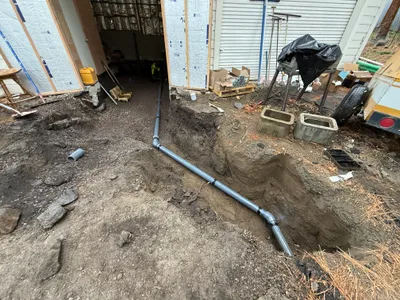
AI Analysis
The image shows a construction area with a portable toilet and a pile of soil and rocks in the foreground. There are orange cones and tarps near a white building, indicating erosion control measures. A dirt pathway runs adjacent to the site, surrounded by tall trees and other structures down the slope.
swppp-erosion-control
dirt and rocks with uneven ground clear weather with natural daylight open access with some congestion from materials
Safety features like cones are visible; uneven ground presents a hazard.
Equipment & Materials
AI Tags
Analyzed Apr 21, 2026
Nearby Photos
1m
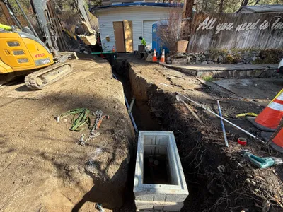
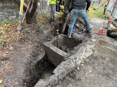
trenching
trenchingexcavation
mini excavator
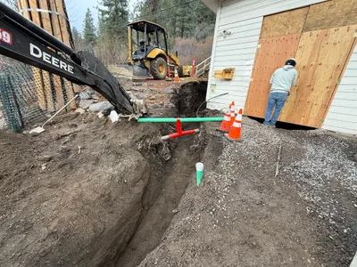
2m
trenching
trenchingexcavation
excavator
3m
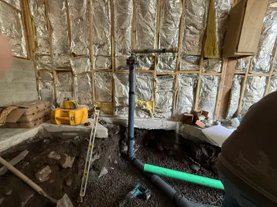
pipeline installation
pipeline-installationpipe-fitting
level
3m
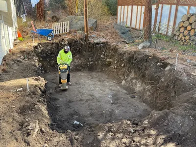
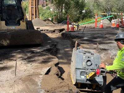
site grading
soil-compactionpit-preparation
compactor
4m
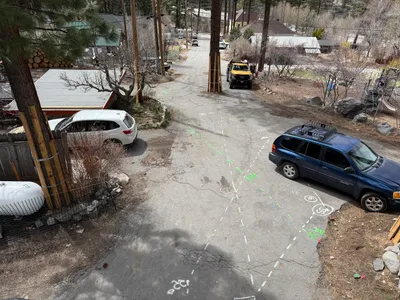
survey layout
road-markingssurvey-markings
white car
5m
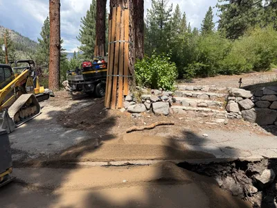
paving surface restoration
surface-repairroad-restoration
excavator
5m
pipeline installation
pipeline-installationtrenching
gravel
6m
trenching
trenchingexcavation
trenching-tool
6m
excavation
excavationsite-preparation
work-truck
6m
backfill
soil-compactionworker-operated-equipment
compactor