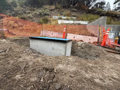
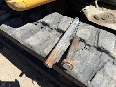
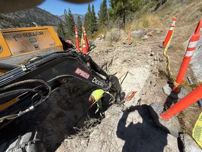
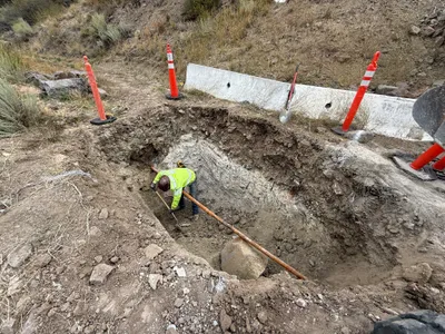
IMG_0627.JPG

No caption

IMG_0627.JPG

Tags

Details

Thursday, October 2, 2025 · 9:30 AM

39.39700, -120.02012· 1688m

Location Context

1 / 5

USGS Topo

No elevation data

FEMA Flood

No flood data

OSM Infra

No address data

USDA Soil

No soil data

USGS Hydro

No hydro data

Apple iPhone 16 Pro
iPhone 16 Pro back triple camera 2.22mm f/2.2
2.220000028611935mmf/2.21/99sISO 64
Flash did not fire, compulsory flash mode
Show all EXIF (43 fields)
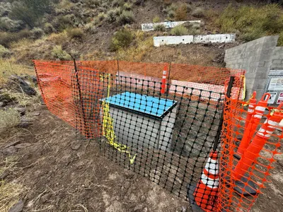
ApertureValue2.2750
BrightnessValue4.8577
ColorSpace65535
CompositeImageGeneral Composite Image
ExifImageHeight3024
ExifVersion2.3.2
ExposureCompensation0
ExposureModeAuto
ExposureProgramNormal program
FlashpixVersion1.0
FocalLengthIn35mmFormat14
GPSDateStamp2025:10:02
GPSDestBearing96.3525
GPSDestBearingRefTrue North
GPSHPositioningError9.4164
GPSImgDirection96.3525
GPSImgDirectionRefT
GPSSpeed0.2932
GPSSpeedRefK
GPSTimeStamp16:30:11
HostComputeriPhone 16 Pro
latitude39.3970
LensInfo2.2200, 15.6600, 1.7800, 2.8000
LensMakeApple
longitude-120.0201
MeteringModePattern
ModifyDate2025-10-02T09:30:12.000Z
OffsetTime-07:00
OffsetTimeDigitized-07:00
OffsetTimeOriginal-07:00
ResolutionUnitinches
SceneCaptureTypeStandard
SceneTypeDirectly photographed
SensingMethodOne-chip color area sensor
ShutterSpeedValue6.6325
Software26.0
SubjectArea{"0":2002,"1":1511,"2":2218,"3":1328}
SubSecTimeDigitized063
SubSecTimeOriginal063
WhiteBalanceAuto
XResolution72
YCbCrPositioning1
YResolution72

AI Analysis

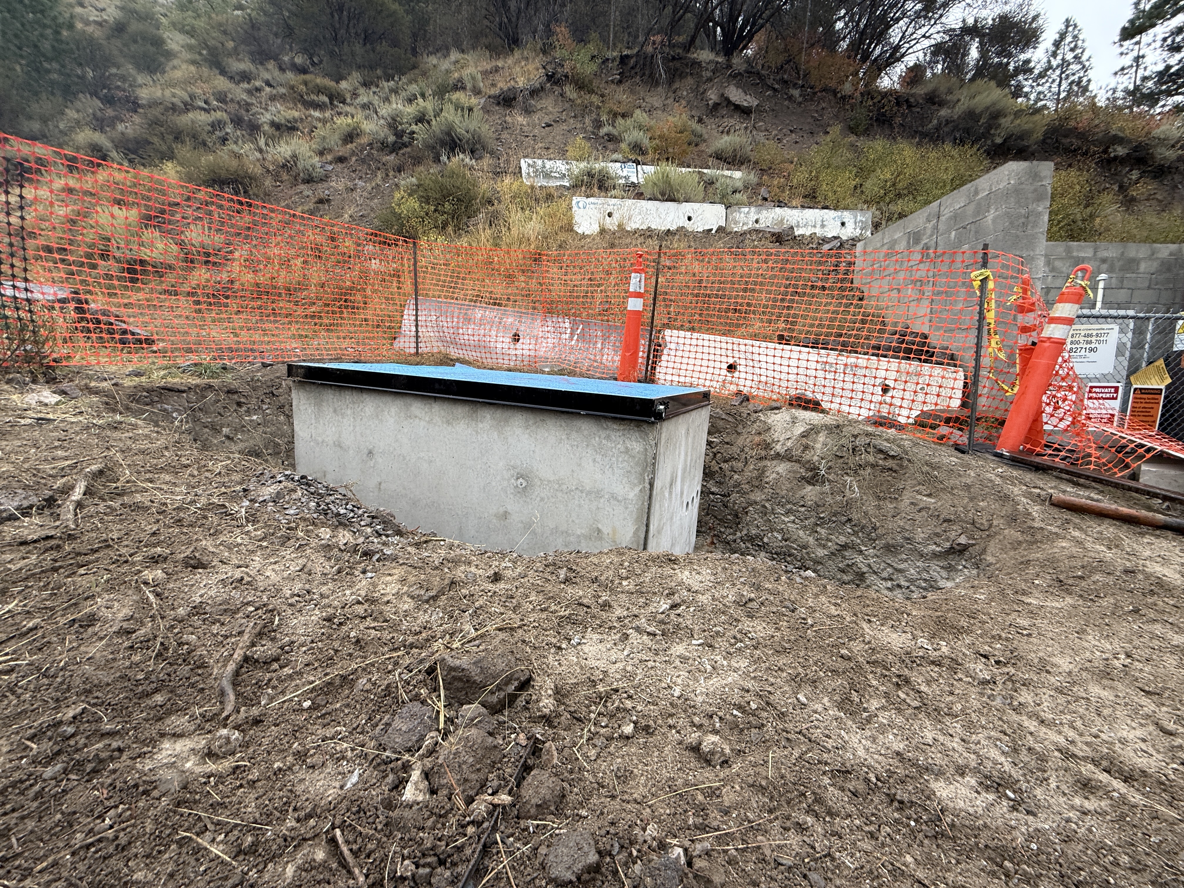
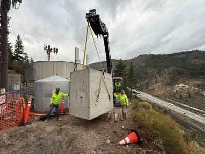
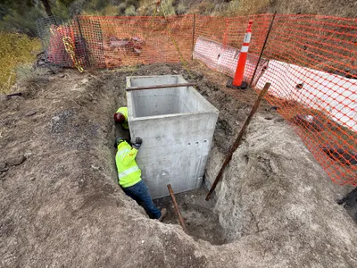
The image shows a partially buried concrete structure surrounded by disturbed soil. Orange safety fencing and cones are positioned around the area, indicating a controlled work zone. A concrete block structure is located in the background, and various construction materials and equipment are scattered around. The presence of cones and fencing suggests safety precautions for site access.
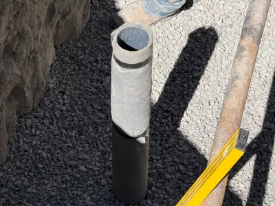
excavation
disturbed soil overcast conditions restricted by fencing and cones
Barriers and cones are used to control access and improve site safety.

Analyzed Apr 21, 2026