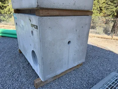
No caption
IMG_0491.JPG
Details
39.39146, -120.02117· 1678m
Location Context
1 / 5
USGS Topo
No elevation data
FEMA Flood
No flood data
OSM Infra
No address data
USDA Soil
No soil data
USGS Hydro
No hydro data
Show all EXIF (43 fields)
AI Analysis
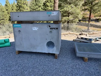
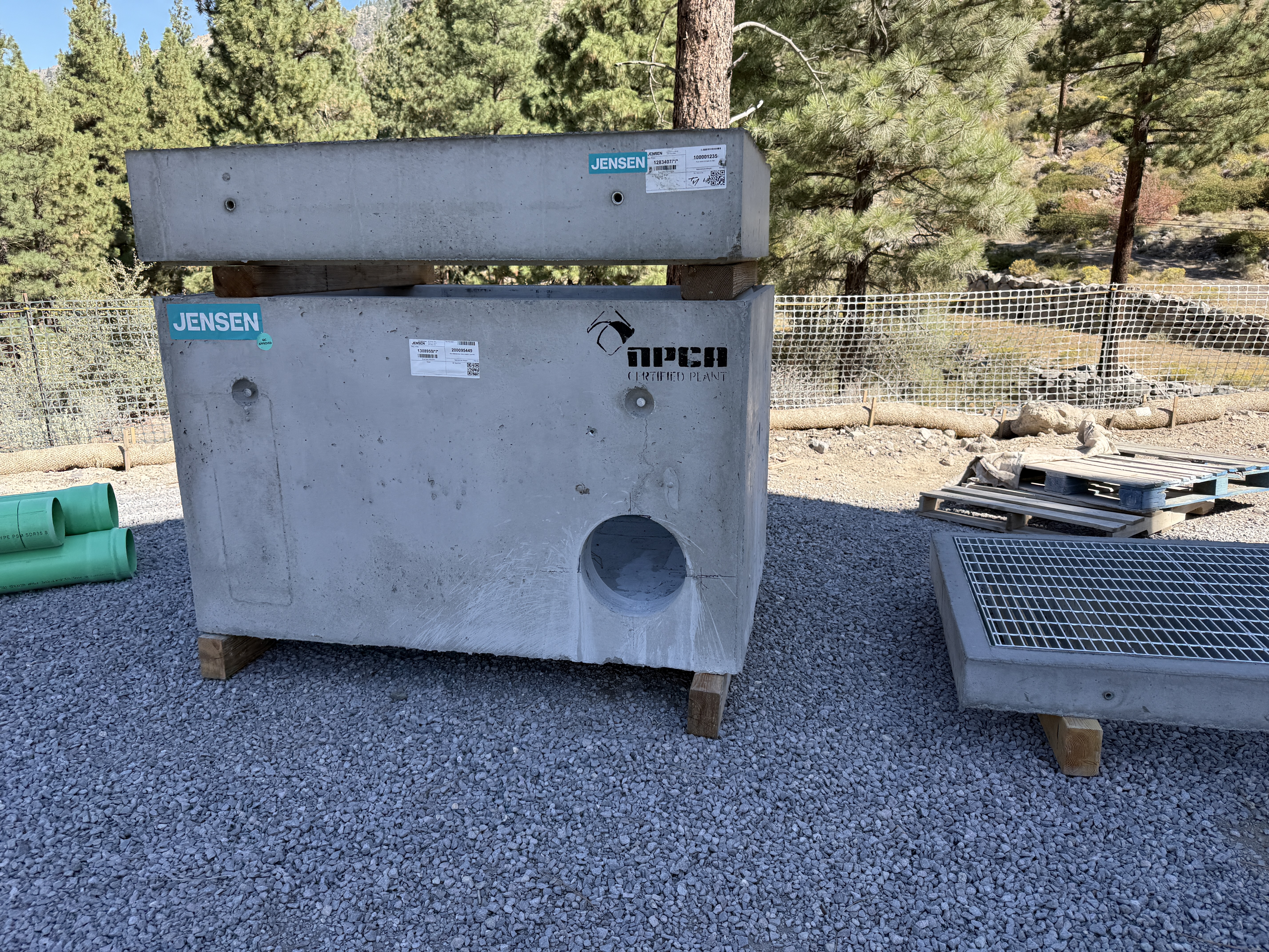
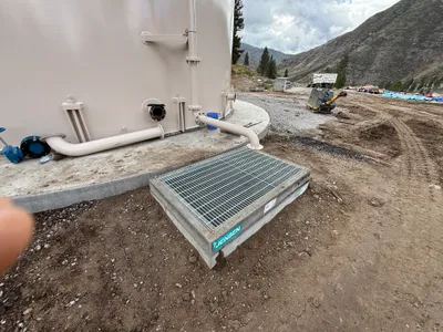
The image shows a concrete structure with a circular opening and labels from 'Jensen'. It's placed on a gravel surface next to some pallets and green pipes. This structure is likely part of a stormwater filtration or drainage system. Surrounding the area, there are trees and a temporary fence indicating a controlled site boundary.
Equipment & Materials
AI Tags
Analyzed Apr 21, 2026
Nearby Photos
1m
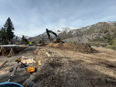
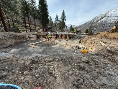
excavation
1m
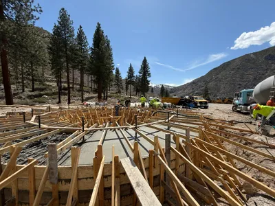
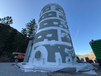
concrete work
1m
concrete work
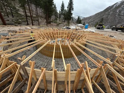
1m
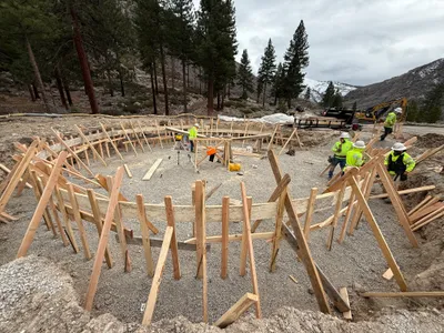
rebar formwork
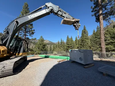
1m
mechanical installation
1m
mechanical installation
2m
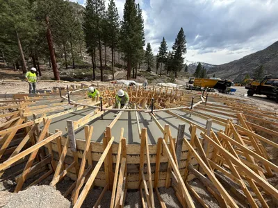
rebar formwork
2m
concrete work
2m
other
2m
survey layout