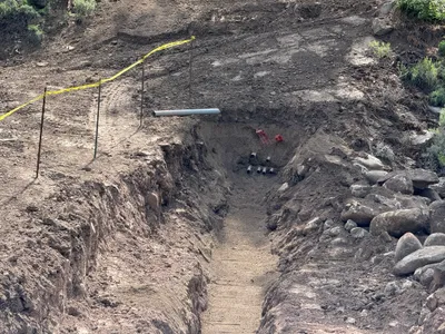
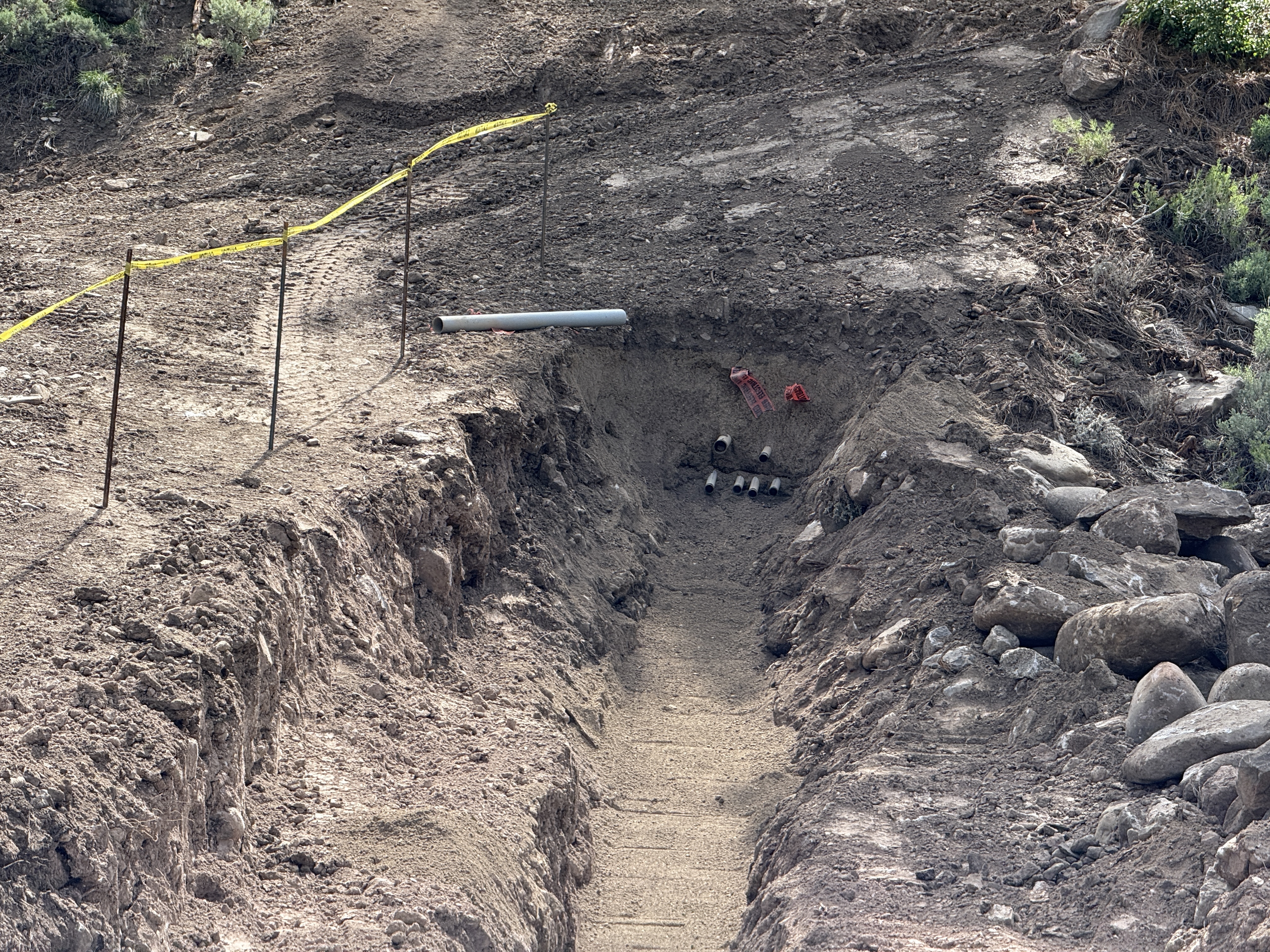
No caption
IMG_7816.JPG
Details
Friday, May 16, 2025 · 10:50 AM
39.39208, -120.02260· 1634m
Location Context
1 / 5
USGS Topo
No elevation data
FEMA Flood
No flood data
OSM Infra
No address data
USDA Soil
No soil data
USGS Hydro
No hydro data
Apple iPhone 16 Pro
iPhone 16 Pro back triple camera 15.66mm f/2.8
15.659999847383mmf/2.81/707sISO 64
Flash did not fire, compulsory flash mode
Show all EXIF (44 fields)
ApertureValue2.9709
BrightnessValue8.0885
ColorSpace65535
CompositeImageGeneral Composite Image
DigitalZoomRatio1.0013
ExifImageHeight3024
ExifVersion2.3.2
ExposureCompensation0
ExposureModeAuto
ExposureProgramNormal program
FlashpixVersion1.0
FocalLengthIn35mmFormat120
GPSDateStamp2025:05:16
GPSDestBearing114.7633
GPSDestBearingRefTrue North
GPSHPositioningError4.7487
GPSImgDirection114.7633
GPSImgDirectionRefT
GPSSpeed0.9702
GPSSpeedRefK
GPSTimeStamp17:50:43
HostComputeriPhone 16 Pro
latitude39.3921
LensInfo2.2200, 15.6600, 1.7800, 2.8000
LensMakeApple
longitude-120.0226
MeteringModePattern
ModifyDate2025-05-16T10:50:44.000Z
OffsetTime-07:00
OffsetTimeDigitized-07:00
OffsetTimeOriginal-07:00
ResolutionUnitinches
SceneCaptureTypeStandard
SceneTypeDirectly photographed
SensingMethodOne-chip color area sensor
ShutterSpeedValue9.4660
Software18.5
SubjectArea{"0":2001,"1":1521,"2":2207,"3":1335}
SubSecTimeDigitized468
SubSecTimeOriginal468
WhiteBalanceAuto
XResolution72
YCbCrPositioning1
YResolution72
AI Analysis
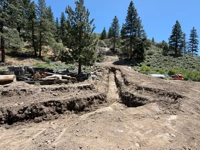
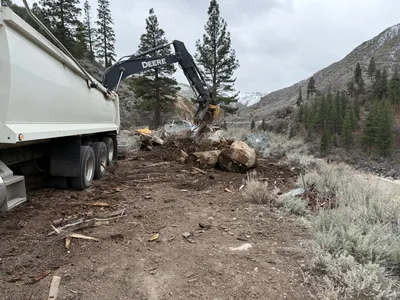
The image shows a trenching activity in a dirt area, with several pipes placed at the end of the trench. Caution tape runs along the side of the trench, which appears to be dug into the ground. Rocks are visible on one side, and the soil is uneven around the trench. The work seems to be part of a duct bank or utility service installation.
trenching
dirt with trench and rocks clear lighting open access with caution tape as barrier
Caution tape is visible along the trench, but no other safety measures appear in frame.
Analyzed Apr 21, 2026
Nearby Photos
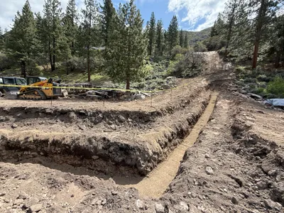
0m
trenching
trenchingopen-trench
skid-steer-loader
2m
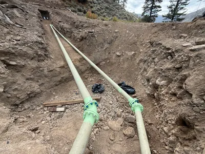
mechanical installation
pipe-installationpipe
pipe
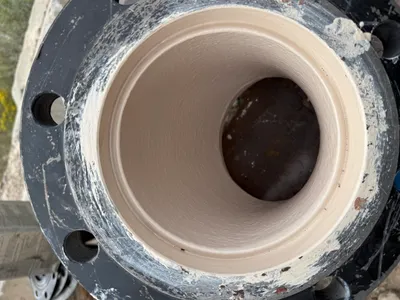
2m
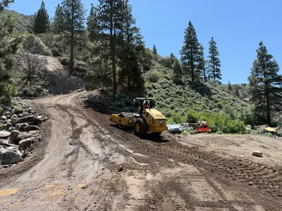
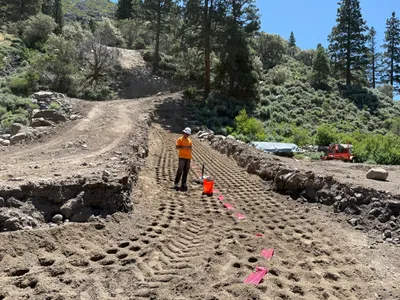
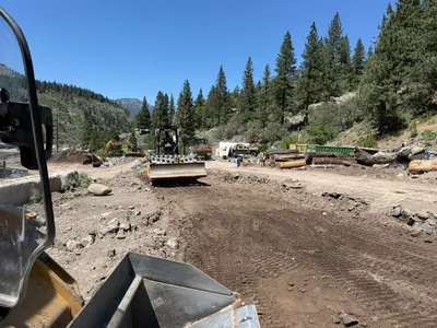
site grading
compactingsite-grading
road roller
2m
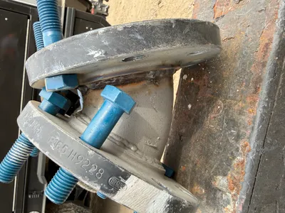
pipeline installation
flange-installationbolt-fastening
truck
3m
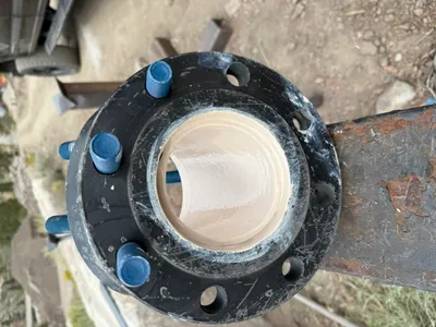
mechanical installation
flange-connectionbolt-installation
flange
3m
trenching
trenchingexcavation
small machinery
3m
site grading
debris-removalland-clearing
excavator
3m
site grading
site-gradingmarking-tape
marking-tape
3m
pipeline installation
pipeline-installationpipes
green pipes
3m
site grading
site-gradingroad-roller-operation
road roller