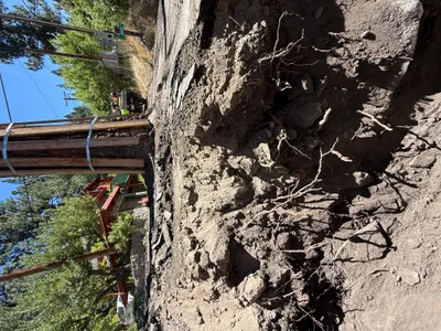
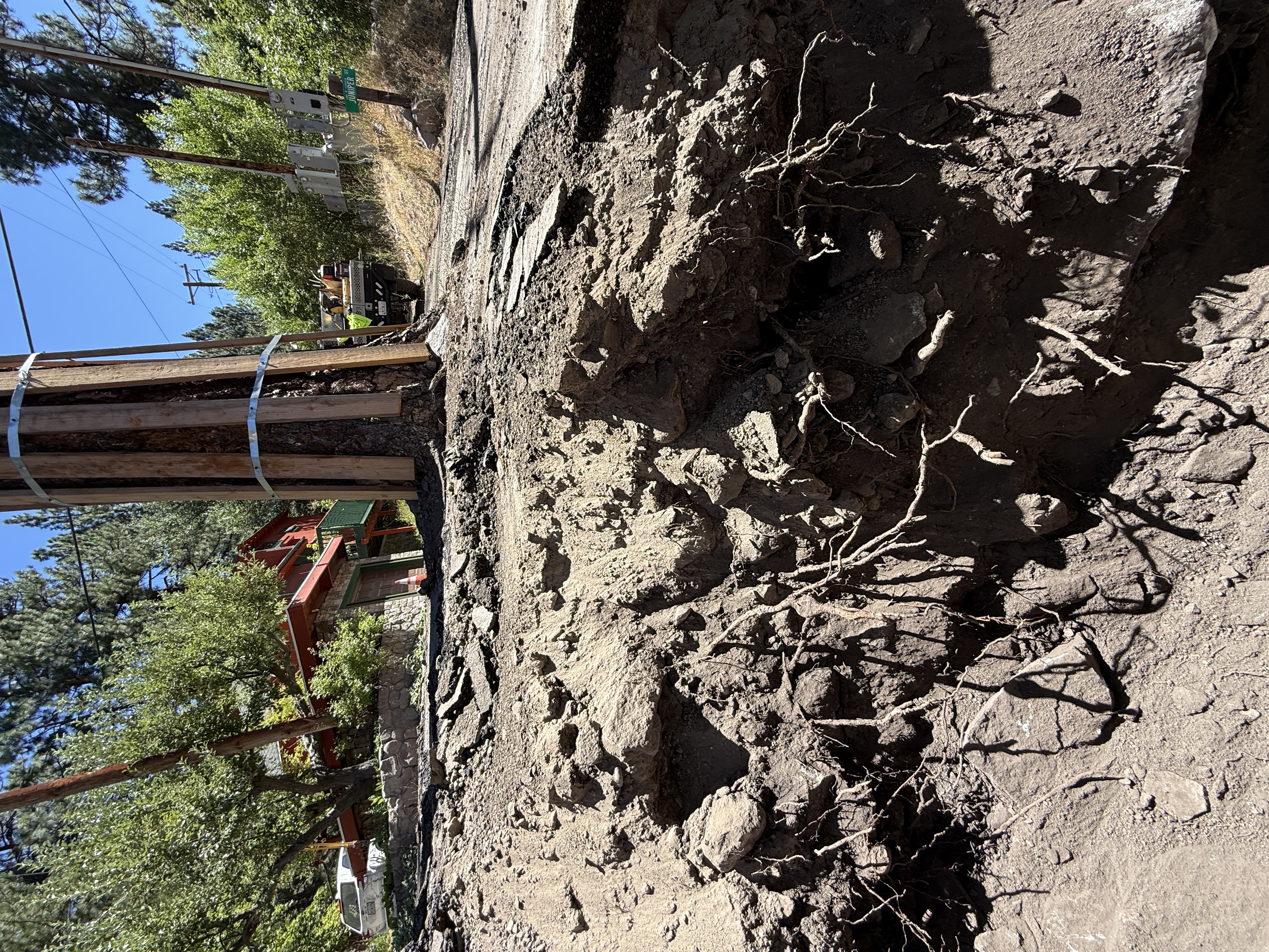
No caption
IMG_9452.JPG
Details
39.39474, -120.02103· 1660m
Location Context
1 / 5
USGS Topo
No elevation data
FEMA Flood
No flood data
OSM Infra
No address data
USDA Soil
No soil data
USGS Hydro
No hydro data
Show all EXIF (43 fields)
AI Analysis
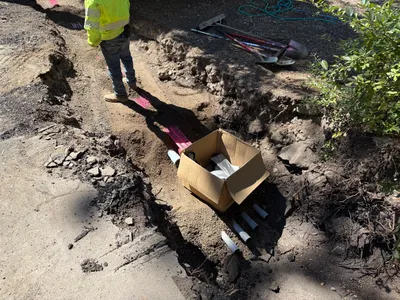
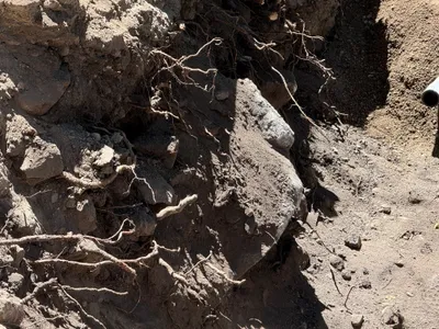
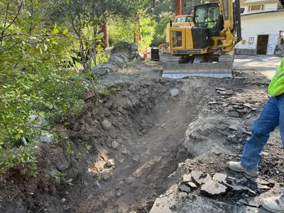
The image shows an excavation around a utility pole with exposed soil and roots. The utility pole is reinforced with wooden supports and metal bands. The surrounding area includes a paved surface and trees in the background. A vehicle is visible in the upper part of the image, indicating active site work. The excavation reveals detailed soil layers and a steep cut section.
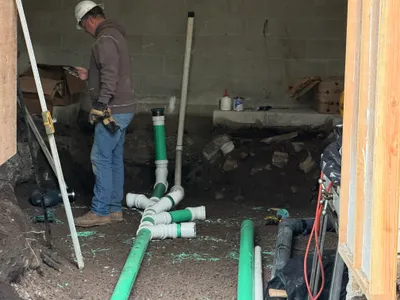
Equipment & Materials
AI Tags
Analyzed Apr 21, 2026
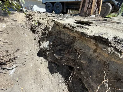
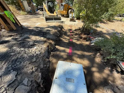
Nearby Photos
1m
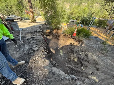
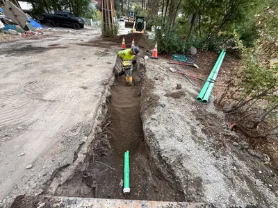
trenching
1m
trenching
1m
trenching
1m
electrical
2m
trenching
2m
trenching
2m
trenching
2m
excavation
2m
pipeline installation
2m
trenching